ITS-NetOptimus™ automatic FTTH network design
Automatic cost optimized network designs

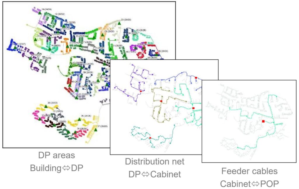
Automatic network design of all levels
ITS-NetOptimus™ creates automatically the highest quality fiber optic / FTTH / FTTX designs, by using complex optimization algorithms within a user friendly graphical interface.
It will find the best:
- Grouping of end-points,
- Location of central points
- (Cheapest) trench, aerial, cable, duct routes
Resulting in less total passive network costs (materials and installation).
ITS-NetOptimus™ is our automatic fiber optic / FTTH / FTTX network design, engineering & planning software that uses certain data-input to create cost optimized network designs.
All relevant design variations for an area are automatically cost calculated and listed with their respective detailed material & installation costs.
Any network design can be shown by selecting it from the list.
The best, most logical, network design is shown by default.
The software does not act as a black box: the FTTH network designer, network engineer has full control over the design process.
He / she can:
- Select a certain to-be-designed area
- Change cost parameters
- Favor/block certain trails (trenches/ducts/road-crossings)
- Dictate the software tool to use certain (existing) manipulation-point positions
- Set network concept parameters etc.
Input:
The required data-input (optional trails/trench lines and building/FTU/MDU locations) is prepared easily dedicated tools.
Design:
ITS-NetOptimus™ is a very fast and very effective software tool.
The cost optimised network designs for urban and rural areas are automatically made in minutes instead of days.
With ITS-NetOptimus™ all possible relevant FTTH / FTTX network designs are made.
The complex optimization algorithms use the project installation and material costs parameters.
Our automatic design optimization parameters are:
- Civil costs
- Material costs
- Installation costs
These parameters can be changed easily.
The software combines all cost parameters to create the best designs whether that�s because of less digging, less installation, less material costs, it will create the best combination of those.
All relevant designs for a selected area are shown as a list of results with quantities and costs.
The software creates network designs for multiple network levels and multiple network concepts.
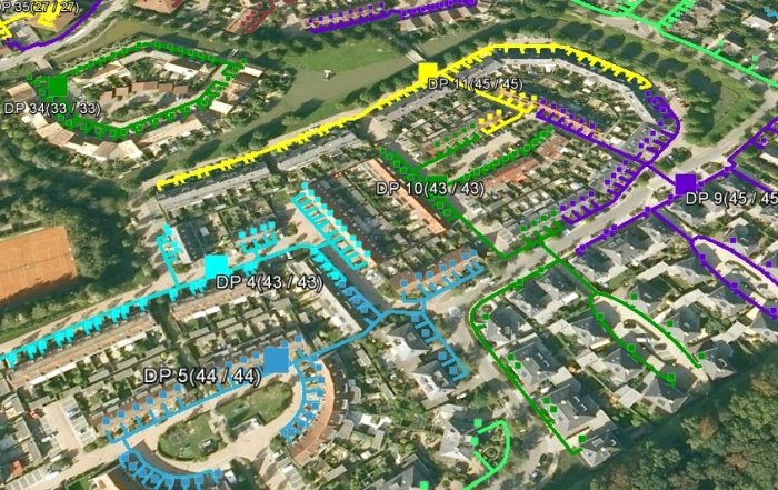
All network design results can be shown directly on-line in Google Earth.

Output:
Direct output to: The ITS-Software Suite™ & AutoCAD (Map3D) & GoogleEarth & Excel.
The network can be directly imported into Autocad (Map3D) with layers, symbols, quantities etc.
Savings:
ITS-NetOptimus™ offers substantial benefits in terms of reducing the design, engineering time and OSP, passive optical�network, building costs.